misâskwatômina
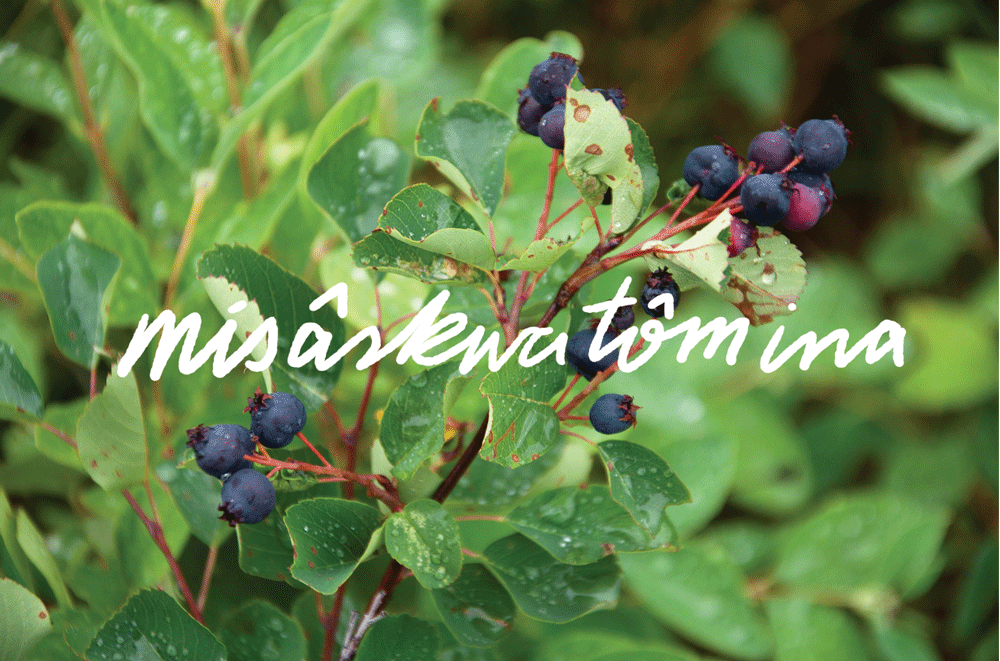
misâskwatômina
by Zoe Todd
Saskatoons. The fat, dusty purple-blue berries that proliferate the slopes of the river valley, where the sun falls from dawn to dusk while the sîpiy (river) water flows past. Berries that bear witness to sohkeciwan (strong, flowing current): the veins of water that wind all the way from the mountains to the ocean, tying Edmonton (Amiskwacî), our home in the Beaver Hills, to the heavens and the earth. Seeds of life and joy that burst in your mouth, testaments to the sun, the air, the water and warm mud from which they grow.
Memories of picking berries with my family wind along languid summer afternoons. Seeking out the best berry spots while cyclists and joggers flash past, unaware. The knowledge that these berries were here long before us, and will persist long after.
misâskwatômina.
All nêhiyawêwin (Plains Cree) words sourced from The Online Cree Dictionary: creedictionary.com
HOT TOWN
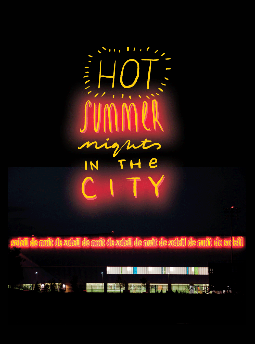
Soleil de Nuit by Laurent Grasso beams down on me on a late night bike ride through McCauley.
PRAIRIE VERNACULAR
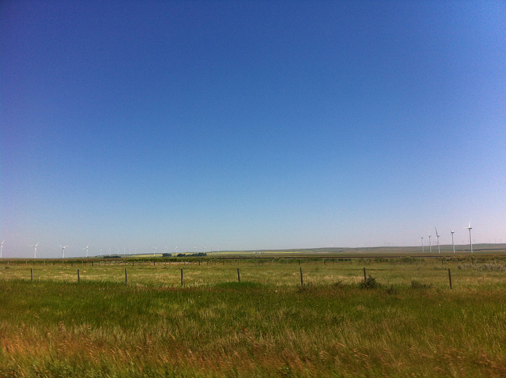
Wind turbines near Pincher Creek
On a recent road trip to southern Alberta, I spent some time at a place I had only ever heard about and had grown to mythic proportions in my mind. At first glance, Head-Smashed-In-Buffalo-Jump is a little underwhelming after a long drive through the gorgeous Alberta foothills and the stunning Crowsnest Pass. Driving along the highway to the UNESCO World Heritage Site through grassland, I double checked the map to make sure my travel companion and I had not missed a turn. We pulled into a huge parking lot where we were met by a short bus. It shuttled us to the main entrance about 100 meters away.
It was too hot for words. Without speaking we walked past the Interpretive Center, headed straight for a trail that led us in an oblong loop around a grassy plain. As we walked along the path silently, the rock face rose out of the seemingly endless prairie. It was not as high, or as violent, as in my imagination. The interpretive panels explain the drop used to be more drastic, but over time the bones from the slaughtered animals built up at the bottom of the cliff in a layer ten feet thick, representing nearly 6000 years of use. Each buffalo drive killed so many animals that they would have to start butchering them before the hunt was finished. Layers of charred bones found by anthropologists showed leftover parts were burned every so often so the Buffalo would not smell the rotting remains and sense danger.
Contrary to what you might believe, the name actually comes from the story of a boy—too young to be part of the hunt—who hid in the shelter of the cliff to watch first-hand as the Buffalo dove to their deaths. At the end of the day, when the animals had all been taken away, they found the boy at the bottom with his head smashed in.
Near the end of the trail was a teepee. Of course, its not the first time I've seen one, but it felt like I was seeing it for the first time. Here in its natural place, the efficiency and simplicity of the shelter hit me. A cone for living. The canvas was painted with graphic black and white geometric patterns that stood out against the yellow fields of dried grass stretching out in all directions.
Every summer, the Blackfoot tribes gathered here for communal hunts and ceremonies. I wished I could see the camp in full production mode, efficiently processing meat for the winter, making pemmican, living harmoniously with the land. Somehow I could feel the presence of a sea of teepees; I pictured hundreds of canvas peaks covering the grassy campsite. For me, that is the real attraction of Head-Smashed-In-Buffalo-Jump: the origins of urban form in Alberta.
HENRY'S

GAUDY GOODNESS
OH CANADA!
Inside a humble Burger Baron, on the sketchiest side of sketchland, is this relic of design. It's a logo created by Stuart Ash in 1967 as part of the Canada's 100th birthday celebrations—which culminated at this time almost fifty years ago.
EARLY EXPLORER OF EDMONTON
PRESSING RESET
He Rides Again
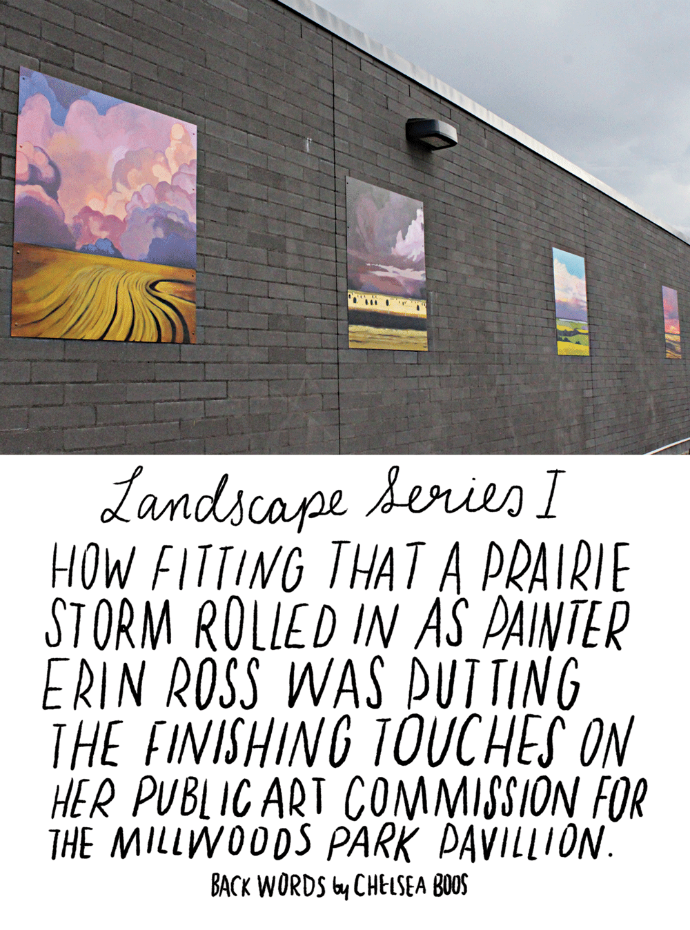
STORM PAINTER
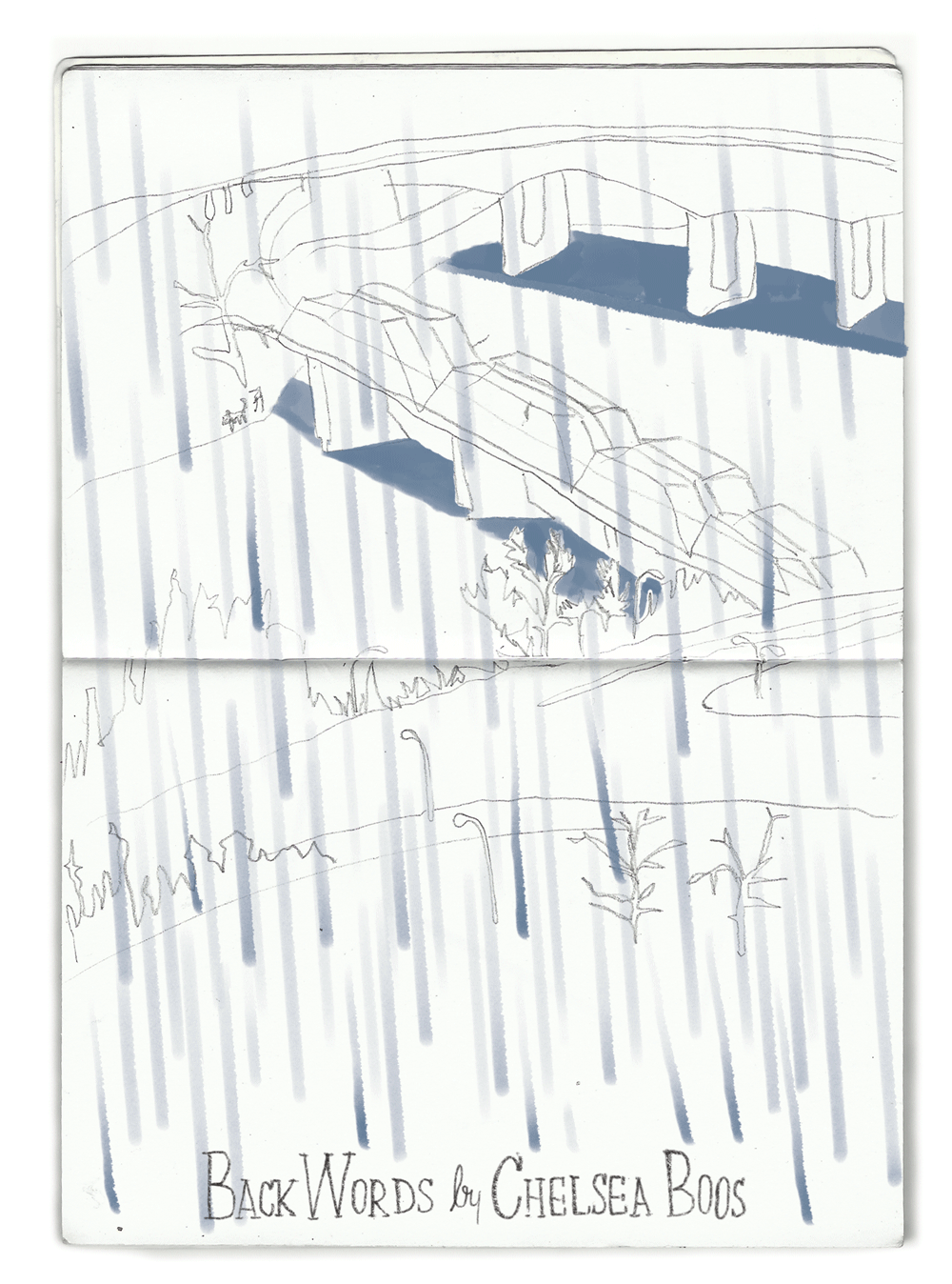
SCATTERED SHOWERS
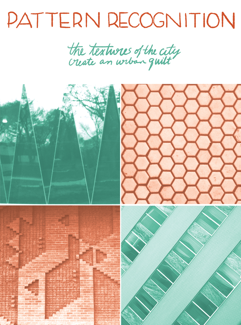
PATCHWORK
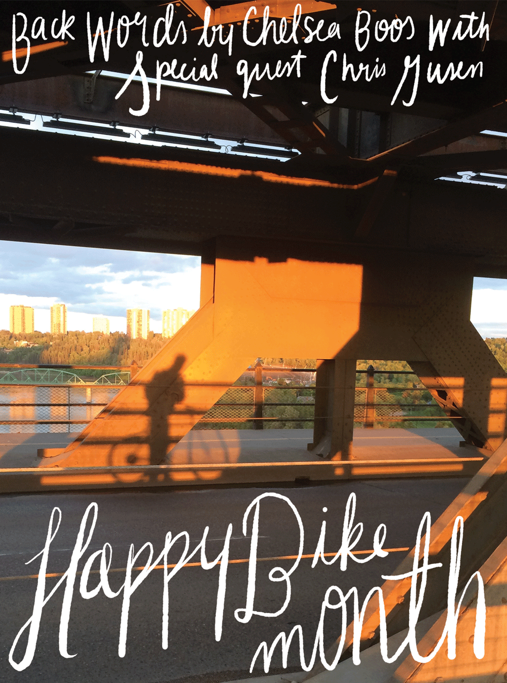
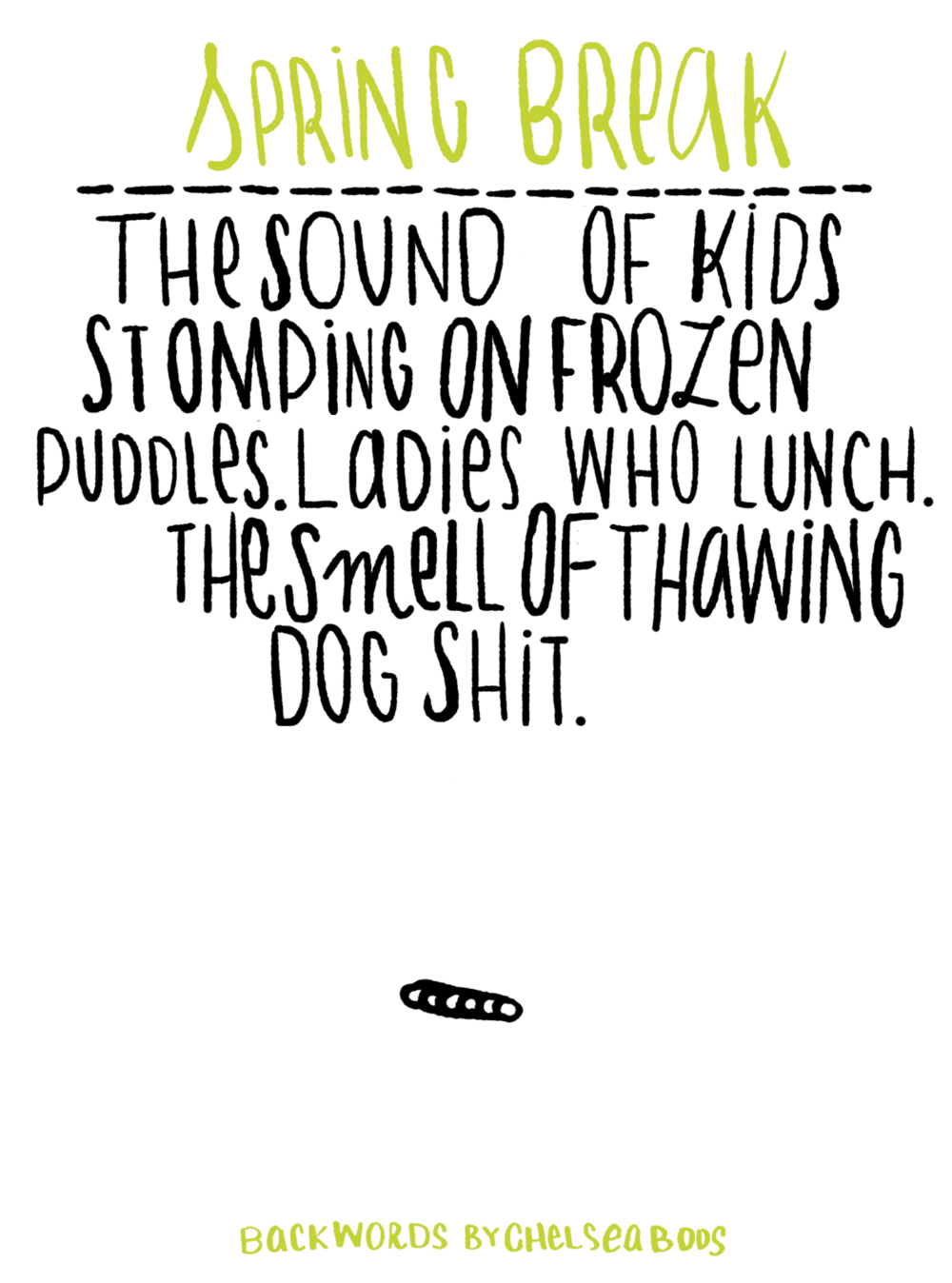
HONK IF YOU LIKE SPRING

SPECIAL GUEST: BRANDON WEBBER
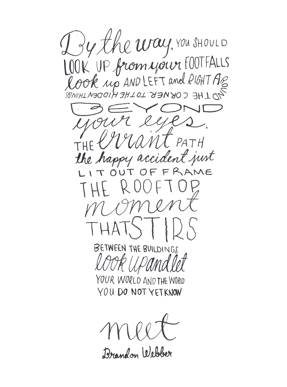 Thanks to Brandon for sharing his words with me. Collaboration is one of my favourite things. If you have an idea for Back Words, send a note to chelseaboos(at)gmail(dot)com!
JANE LIVES
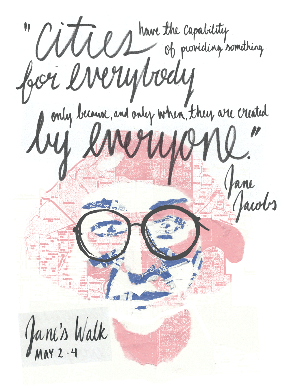 Meet at The Drawing Room (10253 97 st) on Friday, May 2 at 6 pm to join me on a Dérive through the inner city. Along with Leanne Olson, I will be hosting a psychogeographic tour taking us off our predictable paths and jolting us into a new awareness of the urban landscape.
SHRINE TO THE ART GOD

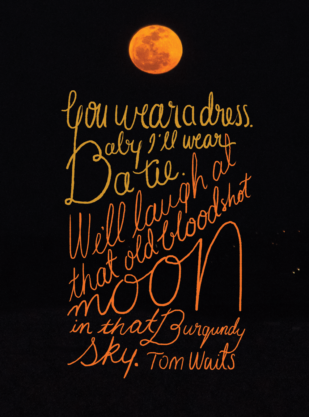
PINK MOON
POOP IN PUDDLETOWN
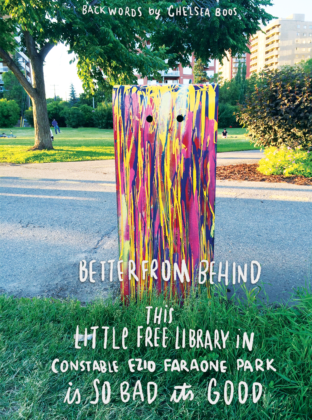
CYCLOPS
Turning the corner, I saw that big evil eye looking down at me and considered whether he would eat my soul.
Read More